Why a ‘Very Strong’ El Niño Has Three US Regions on Alert
Updated 11:26 18 Nov 2026 GMTPublished 02:39 18 Nov 2026 GMT
Pacific water temperatures have surged more than 4°C above average, putting a 'very strong' El Niño on track to reshape US winter weather
Unusual warming across the equatorial Pacific Ocean has put forecasters on high alert, with sea surface temperature anomalies in a key region surging more than 4 degrees Celsius (7.2°F) above average—pushing the ongoing El Niño event into 'very strong' territory ahead of winter.
According to the National Oceanic and Atmospheric Administration (NOAA), the climate pattern is still gaining strength and carries a greater than 79% chance of remaining at strong-to-very-strong levels through March 2027.
While the phenomenon is widely being dubbed a 'super El Niño', neither NOAA nor the World Meteorological Organization uses that term as an official scientific classification—instead categorizing events reaching at least 2°C above normal for five consecutive overlapping three-month periods as 'very strong'.
A breakdown from CBS Weather outlines three major weather shifts driven by the intensifying Pacific warming that will reshape conditions across the United States in the months ahead.
For residents across the southern tier of the United States, the strengthening El Niño signal points toward an active winter storm track.
Advert
El Niño typically steers moisture-laden Pacific storm systems further south across North America, elevating chances for heavy rainfall—and increasing the odds of winter snow and ice events across parts of the South.
NOAA’s seasonal winter outlook highlights heightened precipitation probabilities stretching from California across the Southwest and Gulf Coast up the Eastern Seaboard, contrasting sharply with drier conditions expected further north.
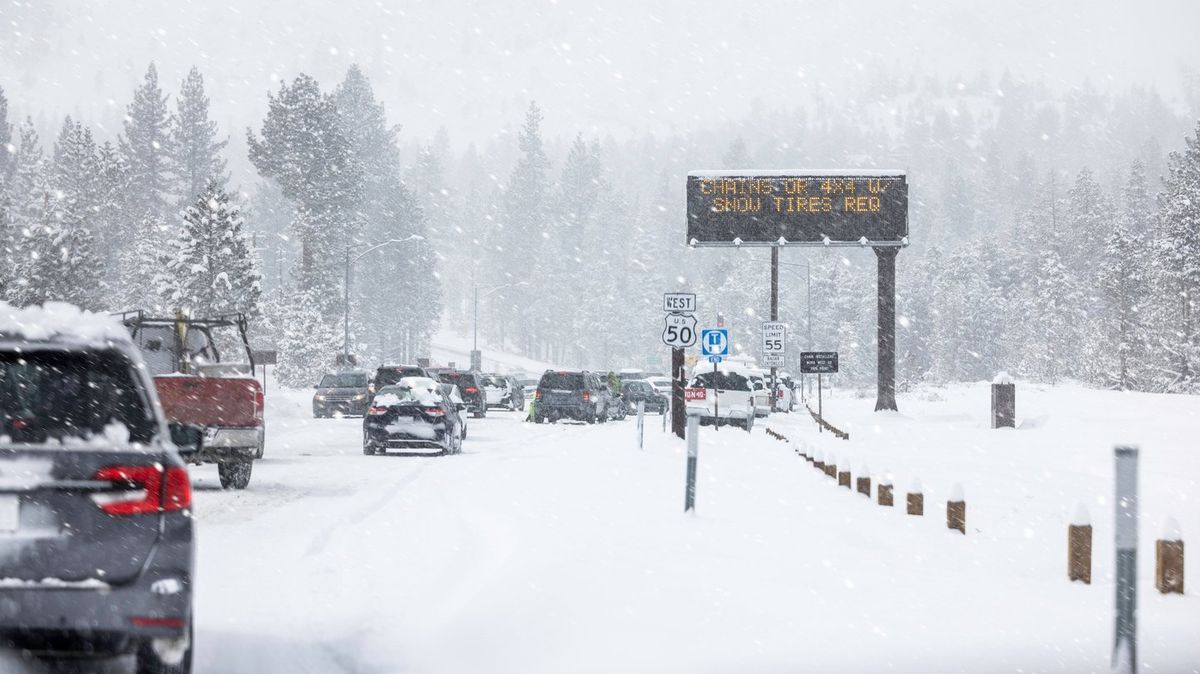
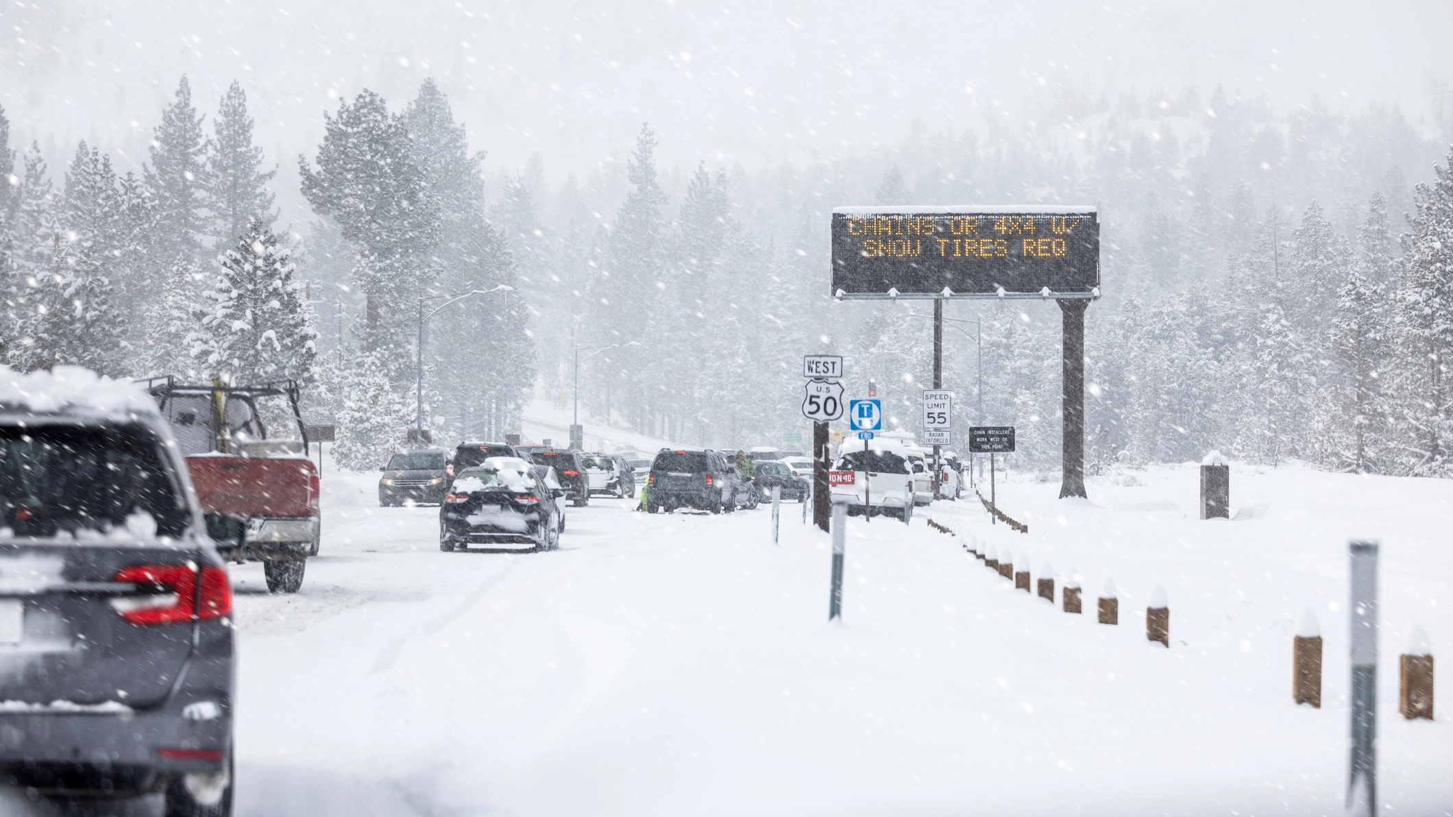
Winter could look a lot wetter and colder for some states this year, particularly in the South (Getty Stock Images)
El Niño’s effects are far from uniform from coast to coast. While southern states brace for stormy, wetter conditions, northern regions of North America typically experience warmer-than-average temperatures and reduced precipitation during strong El Niño winters.
As a result, many northern communities are forecast to see fewer major snowstorms and milder overall temperatures than usual over the coming months—though forecasters note that a potential mid-winter polar vortex disruption remains a wildcard that could still trigger sudden Arctic outbreaks.
Beyond winter temperatures and snowfall, El Niño alters upper-level wind shear in ways that produce opposite effects in the Atlantic and Pacific basins. In the Atlantic, stronger wind shear suppresses tropical cyclone formation—a trend reflected in the 2026 hurricane season, which saw record-low tropical storm and hurricane activity.
In the Pacific, however, abnormally warm ocean waters fuel tropical development, resulting in a notably active and intense 2026 season.
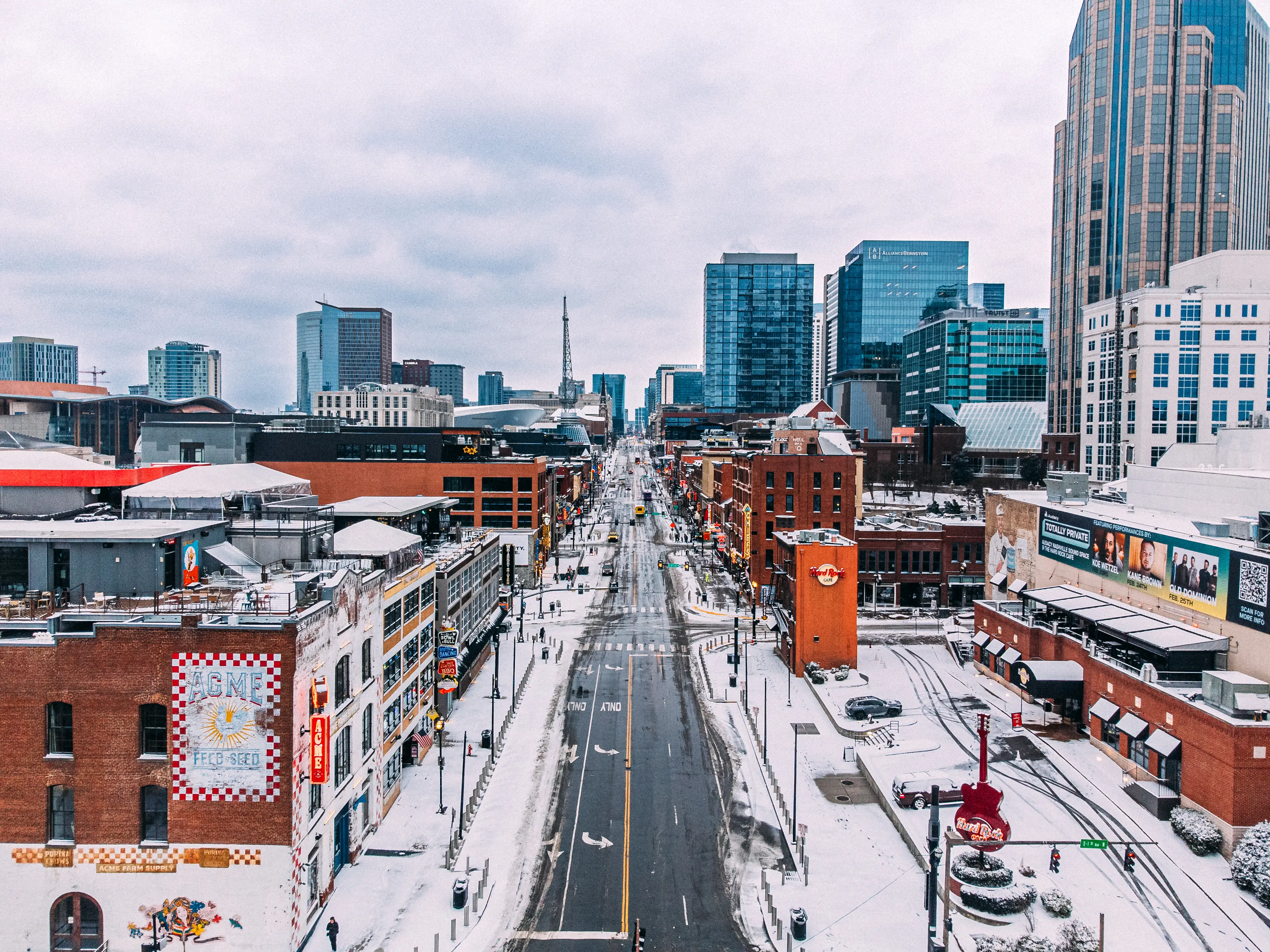
By contrast, Northern states could face a knock-on effect with far drier conditions (Glasshouse Images / Getty Stock Images)
Based on NOAA's Climate Prediction Center winter outlook and historical 'very strong' El Niño patterns, the southern tier of the United States faces the highest risk of flooding, coastal erosion, ice storms, and heavy mountain snow.
Meanwhile, while states across the Pacific Northwest and Northern Rockies—including Washington, Oregon, Idaho, and Montana—are forecast to experience a milder, drier winter, NOAA warns that reduced mountain snowpack in those states is expected to worsen drought conditions heading into spring.
With NOAA projecting El Niño to persist through March, meteorologists warn its influence over US winter storm tracks will remain firmly locked in well into early 2027.
Featured Image Credit: Getty Stock Images
Topics: Weather, US News